
Walk a Rio Rancho Street
The strongest street directory method follows one address through the records that actually use it. Start with the address as it appears locally, then preserve each account, parcel, subdivision, and legal-description clue before changing systems. Sandoval County EagleWeb is the property entry point, not a roster of everyone connected to a home. Its public form is updated on April 1 and October 1, so a recent transfer deserves a second check with the recording office. City mapping gives the street and parcel context. The Clerk's index identifies instruments that can support or change the owner trail. That sequence keeps a street search tied to a specific parcel rather than turning a whole block into a list of people.
- Enter the exact address in EagleWeb. Save the account number, parcel number, situs address, and legal description returned by the property record.
- Open Rio Rancho VisionView, locate the parcel, and check its subdivision, block, lot, street components, and nearby parcel shapes.
- Use the saved legal description or party name in the Sandoval County Clerk document index to locate deeds, plats, or other recorded instruments.
- Read the instrument or request the appropriate copy before treating an index result as title evidence. Compare the legal description with the parcel instead of relying on a street label alone.
- For an older household question, ask the Loma Colorado Local History desk about phone books, newspapers, maps, or a reverse-address volume for the needed year.
That route is deliberately narrow. It establishes a property trail and may produce a historical address lead; it does not establish every person who lives along a street.
Match Rio Rancho Street Syntax
Rio Rancho records treat address pieces as separate fields. EagleWeb distinguishes the house number, extent, direction suffix, street name, designation, direction, suffix, and unit. A search missing NE, NW, SE, or SW can be broader than intended. Street types matter too: Avenue, Boulevard, Circle, Drive, Lane, Parkway, Road, Street, Trail, and Way are separate designation choices. If a house number is unknown, leaving it blank while retaining the full street name, direction, and designation can create a useful property-focused street result. Narrow a broad result with City Zipcode or the 94I Rio Rancho(In) and 94O Rio Rancho(Out) appraisal-district choices when they fit the address.
| EagleWeb field | Entry type | Required | Rio Rancho address use |
|---|---|---|---|
| Account Number | Text | No | Tax-account key, with an R-format example on the form. |
| Parcel Number | Text | No | Cross-system property key; the form shows a 12-digit example. |
| Owner Name | Text and Normal/Advanced choice | No | Uses Last Name First Name format and identifies an assessment relationship. |
| Situs house, direction, name, designation, unit | Text and dropdowns | No | Exact address-led search fields for a Rio Rancho street directory workflow. |
| City Zipcode and appraisal district | Text and multiselect | No | Useful narrowing tools, not proof of municipal or household boundaries. |
| Subdivision, lot, block, tract, unit | Autocomplete and text | No | Bridge from a current address to plats and recorded documents. |
Each field is optional on the inspected form. That flexibility is helpful, but it also means a loose search can combine unrelated results. Copy the complete address syntax before moving to another source.
Note: the address fields locate taxable property, not every person associated with the address.
See Rio Rancho Streets in VisionView
VisionView is the geographic half of the street directory. The City publishes public parcel and street layers through its map service. Street features carry left and right low and high address ranges, street name, suffix, post-direction, aliases, and road information. Parcel features carry address components, LegalDesc, Subd, Block, Lot, parcel fields, BookPg, ZipCode, Acres, PermitDate, and land-use information where populated. Start at the selected address, click its parcel, then pan to adjacent polygons or along the named segment. The map explains where a parcel is and how the street is built, but it is not an ownership or household database.
The City’s public VisionView map service documents the parcel and street fields behind the viewer. Its data are reference material from multiple sources, so a recorded plat, deed, or survey is the better source for a legal boundary question.
The City’s public VisionView parcel and street service shows the mapping layer used for address and parcel context.
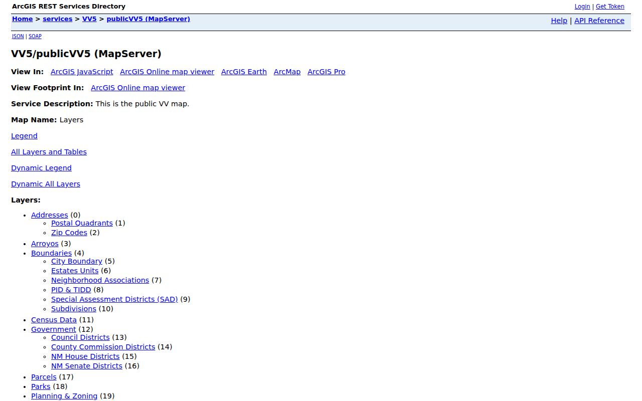
Use the selected parcel's address and legal fields as the handoff to EagleWeb or the Clerk, rather than reading the map as a list of neighbors.
Rio Rancho’s GIS data-download page identifies the available parcel, municipal-boundary, street-address-range, zoning, and overlay datasets.
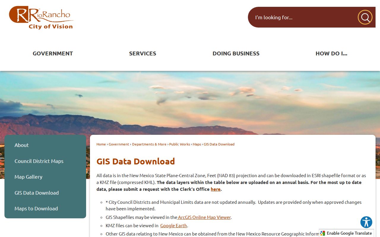
Address ranges can place a number on the correct side of a street or help reconcile a partial address, but they do not identify an occupant.
Rio Rancho Address-Record Coverage
Several custodians hold different parts of a Rio Rancho address trail. The coverage below makes the boundary clear. It is better to ask each source the question it can answer than to force a parcel record, tax account, or map layer to act like a resident list.
| Address-led source | Custodian | Useful result | Access boundary |
|---|---|---|---|
| EagleWeb assessment roll | Sandoval County Assessor | Account, parcel, situs components, owner search, and legal-description lead | Guest search; displayed information has the April 1 and October 1 update notice. |
| VisionView parcel and street layers | Rio Rancho Records & GIS | Parcel shape, address ranges, subdivision, lot/block, ZIP, and map context | Public reference map; not a legal survey, title record, or people list. |
| Recorded-document index | Sandoval County Clerk | Parties, recording dates, document number, book/page, type, and legal description | Public index; copies or certified copies are requested through the service. |
| Tax account | Sandoval County Treasurer | Tax context after an Account ID is known | The inspected tool is Account-ID led, not an owner-name or street browser. |
| Permit or inspection record | Rio Rancho Building Division | Construction and inspection trail for a specified site | No verified public permit-history search form was found. |
| Phone books and local papers | Loma Colorado Local History | Possible historical name or address context | In-room assistance; exact reverse-directory years are not published online. |
A tax-contact address, if an individual record displays one, can differ from the situs. An entity, trust, estate, or off-site owner can also appear in an assessment trail. Treat those facts as property evidence, not a statement about a current household.
Note: the Treasurer tool begins with an Account ID and does not replace an address or owner search.
Use Rio Rancho Parcel Keys
Rio Rancho Estates language is a working record key, not decorative history. When a street address does not connect cleanly across systems, preserve the subdivision, unit, lot, block, tract, parcel, and book/page references. EagleWeb and the Clerk both expose platted legal fields. In the Clerk index, search by Either Party, Grantor/Party 1, Grantee/Party 2, recording-date range, document number, book/page, document type, or the platted legal description. Individual names use Last First format. The advanced tools also allow spelling-variation methods, but the portal describes its index as a catalog-like guide. Obtain the actual instrument for a meaningful conclusion.
- Parcel
- A mapped unit of land used to connect an address, assessment account, and legal description.
- Situs address
- The location of taxable land or improvements, which can differ from a tax-contact mailing address.
- Plat
- A recorded map that lays out subdivisions, lots, blocks, or units and can explain a change in an address trail.
- Criss-cross directory
- A reverse-address directory, if a library holds one, that begins with an address rather than an alphabetical name.
Rio Rancho Planning and Zoning directs site-plan and addressing questions to VisionView and handles subdivision, zoning, variances, and special uses. Those records add land-use context but do not identify a household.
The Planning and Zoning Division page provides the City route for address and site-plan context.
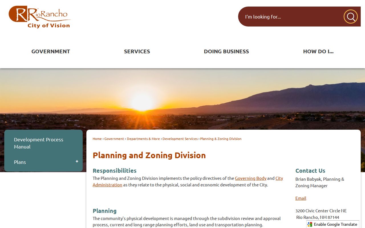
Planning records work best after the parcel and legal description are known, especially where a subdivision name differs from a familiar street label.
Sandoval County Treasurer’s account-lookup service is the official source shown in the image and is used after an Account ID is known.
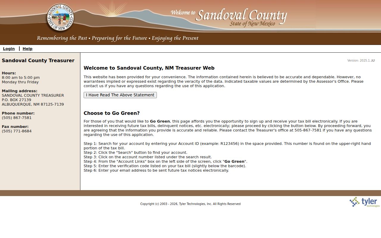
The Treasurer image illustrates why an Account ID should be retained after an EagleWeb search: the tax system is account-led and does not replace the Clerk or Assessor search.
Place Rio Rancho Streets in Time
Street geography is part of the record trail. The City’s maps page publishes Rio Rancho neighborhoods, streets, and units alongside street, council-district, special-assessment-district, and arterial maps. Before assuming that a street name maps to one long-standing neighborhood, check the unit, subdivision, and City boundary layer. The annexation and addressing report records incorporation in 1981 and later development eras, including southern County-line property, Rivers Edge and Enchanted Hills context, Northern Meadows and Hawksite, northern areas, and later Mariposa, Paseo Gateway, and City Center growth. A historic result may use a Rio Rancho Estates or county description rather than today's City label.
Rio Rancho’s maps-download page provides the neighborhoods, streets, and units reference materials.
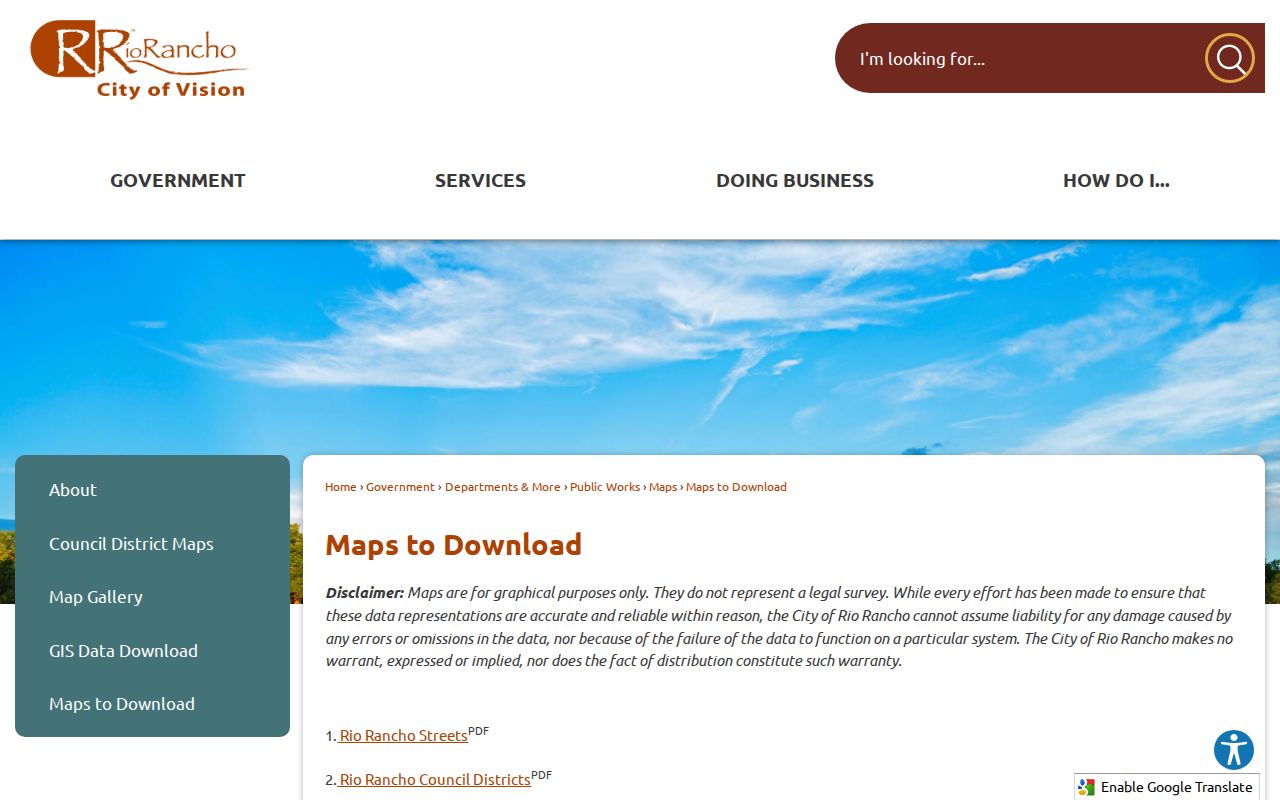
Those maps help connect a street segment to the proper unit or neighborhood name without claiming that a map boundary identifies every person there.
City limits, Sandoval County recording jurisdiction, and postal delivery areas overlap but do not match perfectly. A parcel’s mapped ZIP value is a useful check, not a legal answer. Note: no official source located a citywide street-renumbering year, so use legal descriptions, units, plats, and historic maps instead of inventing one.
Request Rio Rancho Address Files
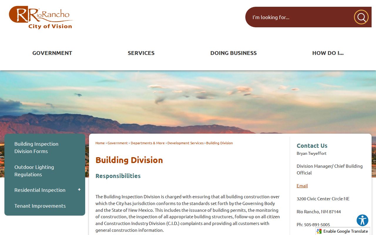
When a site question concerns construction or inspection timing, the Rio Rancho Building Division is the direct custodian. Its published process covers applications, fee payment, approval, and inspection requests, but the research did not verify an open permit-history search form. Give the office a precise address, permit number if known, project description, and date range. For another existing municipal record, the City Clerk's public-records route accepts an electronic request, email, fax, phone, mail, in-person delivery, and inspection. A request should identify existing records; IPRA does not require the City to create a new street report.
The Building Division page describes the official permit and inspection channels for a Rio Rancho address.
The City Clerk says an unavailable record requires a written timing explanation after three business days, and records generally must be available as soon as practicable, no later than 15 calendar days, subject to the law and any justified extension.
Note: narrow requests to an existing address, record type, and date range whenever possible.
Limits of Rio Rancho Street Searches
A street directory can connect public property and geographic records. It cannot convert them into a complete list of people at homes along that street. VisionView has no owner or household roster in its public parcel schema. EagleWeb records an assessment-owner relationship and may be behind a recent transfer. The Clerk index identifies document parties and does not promise a household result. The State's voter self-service tool is for a person checking that person's own registration, and the authorized voter-data route is controlled by a signed authorization. No official Rio Rancho or Sandoval public by-street voter lookup was located.
Respect deliberate gaps. New Mexico Safe at Home supplies a substitute address for eligible participants, and public records can be redacted or exempt. If a record has an address mismatch or suppression, do not attempt to reconstruct it from other records. For older research, Loma Colorado confirms old phone books but not exact reverse-directory runs, so ask a librarian for the named year or address instead of assuming a volume exists.
Lawful use. Rio Rancho street and address records are for personal, civic, property, or historical research. Do not use them to follow, monitor, harass, intimidate, or harm anyone; New Mexico's Harassment and Stalking Act prohibits that conduct.