
Find Rio Rancho Neighbors by Parcel
For a Rio Rancho block, public sources answer different questions. The City map establishes where surrounding parcels are. EagleWeb can be consulted one parcel at a time for an assessment-owner relationship. The Clerk can test the related deed or plat trail. Association material describes a community's boundary and public contact, while a Neighborhood Watch program explains how an existing block may organize. The table is a coverage map, not a promise that every source identifies every person nearby.
| Block source | What it shows around an address | Access and boundary |
|---|---|---|
| Rio Rancho VisionView | Parcel geometry, addresses, lots, blocks, subdivision and legal context, plus adjacent parcel locations | Public map; its parcel schema has no owner or household roster. |
| Sandoval County EagleWeb | Assessment property and owner information for one selected parcel | Public guest search; ownership does not establish occupancy. |
| Sandoval Clerk index | Recorded-document parties and title links for a parcel or legal description | Index and copy route; document history is not a current-neighbor list. |
| City association inventory | Association names, boundaries, public contacts, and some meeting details | Community geography only, not a resident directory. |
| Neighborhood Watch | How City residents can organize a block with police support | Program membership details are not a public lookup. |
| SOS voter-data channels | Authorized statewide voter-data attributes under State process | No public Rio Rancho by-street tool was verified. |
A nearby parcel is a geographic fact. Its assessment record may point to an owner, and its deed may identify parties to an instrument. None of those facts establishes everyone who is currently in a home. That distinction prevents a block inquiry from overstating what public records can prove.
Note: choose a single focal address rather than assembling a broad block list from public records.
Map Rio Rancho Neighbor Parcels
VisionView is designed for site plan and addressing context. Its public parcel layer can be selected by map location or query, and it exposes fields such as LegalDesc, Subd, Block, Lot, Par, Tr, BookPg, address components, ZipCode, Acres, PermitDate, PropertyCode, and LandUse where present. The City street layer also carries left and right low/high address ranges, aliases, road class, and street labels. Use those fields to orient a small block check. Do not treat the viewer as an owner search or extract a broad set of parcels for republication.
- Open Rio Rancho VisionView and locate the focal address or street segment.
- Click the focal parcel, record its address, parcel context, legal description, and subdivision, then pan to the adjacent parcel polygons.
- Open EagleWeb for each individual parcel where an assessment question remains. Keep the situs and tax-contact concepts separate.
- Use the parcel's legal description in the County Clerk document index only when a deed, plat, or instrument history is needed.
- For the full named-street sequence, use the Rio Rancho street directory rather than extending a small-block check into a broad street list.
The City’s map data are reference data, not a legal survey. A boundary, ownership, or parcel-identity dispute requires the recorded document, plat, survey, or the proper custodian.
Rio Rancho’s archived planning and government-records collection shows the City’s published archive route for development context.
The City archive adds planning and development context to a parcel or subdivision, but archived records do not replace an Assessor or Clerk check.
Use Rio Rancho Association Boundaries
Neighborhood associations are the human-scale layer of a neighbors search. The City’s Homeowners and Neighborhood Associations inventory names associations, often supplies management or public contact information, and describes many boundaries. It does not publish a resident membership list. Use the page after locating a parcel or street, so a geographic match can be tested against the City’s wording rather than guessed from a neighborhood name.
| Association area | City boundary detail | Careful use |
|---|---|---|
| Cabezon–Centex HOA | Bounded by Unser, Western Hills, Cabezon, and Westside | Check whether the parcel falls in that boundary before using the association label. |
| Mariposa Community Association | City entry is via Unser and Mariposa Parkway | Use the City contact route for community information, not for a personal directory. |
| Mariposa Neighborhood Association | Bounded by State Trust Land and Rio Rancho Estates Unit 25 | Retain the Unit 25 term with the parcel record when reconciling place names. |
| Northern Meadows | City description uses a detailed road and rail-line boundary | Compare the parcel map with the stated lines rather than assuming a ZIP defines the area. |
| Vista Hills | Bounded by Northern, Los Montoyas Arroyo, NM 528, and 13th Street | Use the boundary as community geography, not evidence about a particular home. |
The City’s association-boundary page is the source for those descriptions and for public contacts where available.
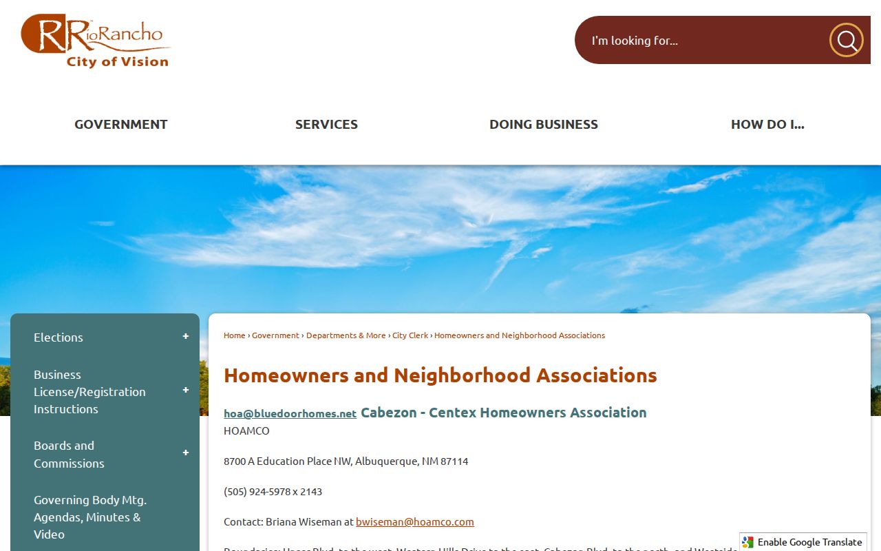
Association boundaries can turn a parcel search into understandable neighborhood context without turning any contact listing into a roster.
Note: a boundary match is a geography check, not proof that a parcel has any particular association relationship.
Read Rio Rancho Neighborhood Geography
Rio Rancho grew through planned units, plats, annexations, and later development areas. That history is useful when a deed uses one place name and a current association page uses another. The City’s special-district material identifies development-context dates for areas including Cabezon, Mariposa, Lomas Encantadas or Enchanted Hills, Broadmoor Heights, Tierra del Oro, and Los Diamantes. Those are not build dates for every home. They are clues for reconciling a parcel, unit, plat, planning record, and current community label.
Rio Rancho’s Special Districts page provides the City’s development-context information for these areas.
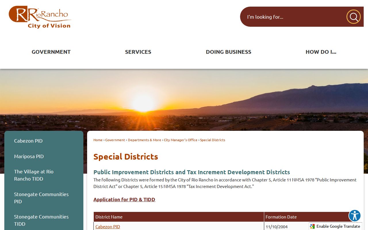
A special-district or planning reference can explain neighborhood terminology, but it is not evidence that an individual is currently connected to the parcel.
Municipal boundaries, Sandoval County property jurisdiction, and USPS delivery labels are overlapping geographies. A parcel’s ZIP attribute or mailing label cannot by itself establish City limits, an association boundary, or a neighbor relationship.
Compare Rio Rancho Neighbor Sources
Official sources have narrow, checkable roles. Commercial neighbor-lookup tools may combine older public material and other data, but a result may lack the parcel, legal-description, instrument, or boundary context needed to test it. A focused property question is best checked against the actual custodian. That also makes it easier to see when a record is stale, incomplete, or purposely limited.
| Source type | Best use | What to verify |
|---|---|---|
| Official City and County records | Parcel location, assessment relationship, instrument trail, and City boundary context | Match the exact address, legal description, document number, and current custodian. |
| Community association material | Neighborhood name, boundary description, public management or meeting contact | Confirm the parcel is within the stated boundary; do not infer a personal membership list. |
| Commercial compiled tools | Possible lead that needs independent checking | Test any address or name against the relevant official record before relying on it. |
For a current property concern, EagleWeb's stated update cycle is April 1 and October 1. A new recorded document or a direct question to the custodian can be a better check than a cached display or a compiled result.
For a historical block question, keep a short source trail: the address searched, parcel number, legal description, document number or book/page, and the date checked. That makes it possible to tell a mapped parcel from a recorded title link and to correct an assumption when a plat, trust, or subdivision change breaks the apparent match. Sandoval Clerk's index is a guide to the underlying instrument, not the instrument itself.
Note: compare a paid or compiled result with the responsible public custodian before relying on it.
Rio Rancho Voter Data Boundaries
New Mexico does not provide an open Rio Rancho voter-by-street map. My Registration Information is an individual service for a voter checking that voter’s own record. The broader SERVIS voter-data channel is a statewide authorized request, not a shortcut for building a block roster. It requires a signed Voter Data Authorization Form and has a $15 setup fee, with separate per-thousand-record charges depending on format and voting-history selection. The State says voting history means participation history, not ballot choices.
Even an authorized request has firm limits. The State protects Social Security numbers, dates of birth, email, and address-confidentiality participants. A voter record can be inactive, cancelled, or tied to a move, and it does not show every person at an address. In July 2026, the Secretary of State highlighted those privacy protections after a federal judge dismissed a suit seeking private voter data. For a block question, use parcel and association geography instead of trying to recreate a voter list.
Note: voter information must remain within the State’s authorization process and applicable confidentiality rules.
Join Rio Rancho Neighborhood Watch
A Neighborhood Watch is an organizing program, not a neighbor directory. Rio Rancho Police says City residents who want to start one should identify a Block Captain and members, then contact the Community Relations Officer at pdcommunity@rrnm.gov or 505-896-8201. The department lists 505-891-7226 for non-emergencies. When a group is scheduled, the City collects a membership list for program administration. That does not make the list available for public browsing.
Rio Rancho Police Neighborhood Watch information gives the official participation route.
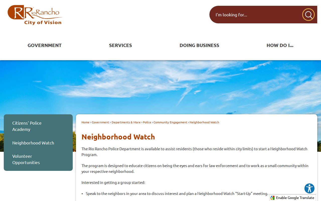
The public program information is useful for a block seeking City coordination, while membership details remain within the program process.
City transparency and archive systems can also hold released planning and government records. They may help explain a development or public decision, but neither system should be read as a source of current households.
Rio Rancho RR 360 Government Transparency is the City route for publicly released records and request information.
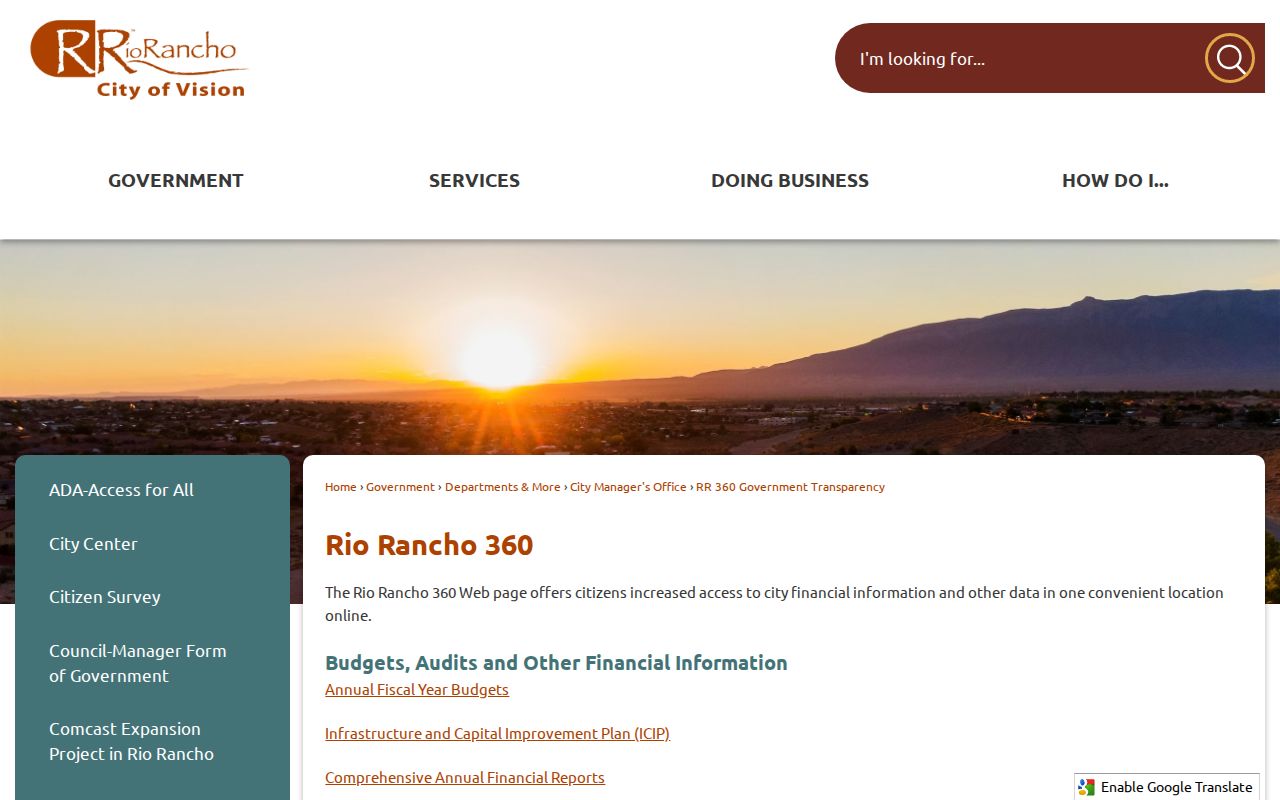
Released City records can provide civic and planning context for a neighborhood without identifying a current household.
Respect Rio Rancho Neighbor Privacy
Other limits are intentional. Safe at Home provides a substitute address for eligible survivors. Police and court material can be redacted or suppressed. A discrepancy between situs, mailing, and another record is not an invitation to reconstruct a protected location. Work from the source needed for a narrow property, historic, or civic question, retain only the facts needed to verify it, and let the actual custodian correct a record when correction is warranted.
Public records are not all-or-nothing. A source can be useful for a limited property or civic question while still excluding information that should remain private. Keep a parcel search narrow, avoid republishing a group of results, and use the custodian-specific correction route when an official record needs attention.
Lawful use. Rio Rancho neighbor research is for personal, civic, property, and historical purposes. Do not use an address, parcel, association, or record to follow, monitor, intimidate, harass, or harm another person.