
Rio Rancho ZIP Coverage
Rio Rancho is served by core delivery ZIPs, a postal-box ZIP, and several edge attributes visible in the City parcel system. The core ZIPs are useful address clues, not city-limit lines. The Rio Rancho Branch serves 87124 and 87144 and also services 87174. City records place Municipal Court in 87124 and City Hall and the Loma Colorado area in 87144. A core divide around Northern Boulevard appears in a City planning source, but that document is not a USPS legal-boundary map.
The table keeps Rio Rancho local evidence separate from the assumption that every address bearing a ZIP is inside the City. Start with the postal result, then check the Rio Rancho parcel and municipal-boundary context for the individual address.
| ZIP | Verified delivery or mapping context | Postal context | Research note |
|---|---|---|---|
| 87124 | Rio Rancho delivery area; Rio Rancho Municipal Court uses this ZIP | Rio Rancho Branch serves it | Confirm the Rio Rancho street address, parcel, and City boundary separately. |
| 87144 | Rio Rancho delivery area; Rio Rancho City Hall and Loma Colorado region use this ZIP | Rio Rancho Branch serves it | Rio Rancho Mariposa and Enchanted Hills listings appear here; do not treat that as a boundary rule. |
| 87174 | Rio Rancho postal-box and mailing context | Rio Rancho Branch also services it | Use as a Rio Rancho PO Box clue, not as a street-address neighborhood. |
| 87114 | Available Rio Rancho City parcel-service ZIP attribute | Possible edge or outside overlap | Check exact location against USPS and Rio Rancho municipal limits. |
| 87004 / 87048 | Available Rio Rancho City parcel-service ZIP attributes | Bernalillo or Corrales edge context may apply | Neither code identifies every address as Rio Rancho. |
The Rio Rancho edge values in the parcel service demonstrate overlapping record geography. They are not a postal-facility list and do not mean that every address inside those ZIPs is in Rio Rancho.
Rio Rancho ZIP Delivery Context
A ZIP is created for mail delivery. It does not establish Rio Rancho municipal court jurisdiction, a County record custodian, a precinct, a school area, or a neighborhood association. In Rio Rancho, City limits, Sandoval County assessment and recording jurisdiction, and USPS delivery geography overlap but do not match. That is why a Rio Rancho postal label alone is a weak way to sort an address-based record search.
87174 is the clearest Rio Rancho example. The Rio Rancho Branch services it, but the research identifies it as a PO Box and mailing context, not a residential street sector. Likewise, the Rio Rancho City GIS `ZipCode` field includes 87114, 87004, and 87048. Those values can help flag an edge address for review, but they do not determine whether a property lies inside City limits.
Find a Rio Rancho ZIP
The Rio Rancho ZIP filter belongs to an address and property workflow, not to a broad list of residents. Sandoval Assessor EagleWeb includes a City Zipcode field. Combine it with exact Rio Rancho situs components, an account or parcel number, a legal description, or an appraisal district to narrow the property record. VisionView can then show the selected parcel’s mapped ZIP attribute, legal fields, and municipal map context.
- Enter the full street address in USPS ZIP Lookup and save the delivery ZIP returned for that address.
- Use the Rio Rancho City VisionView map to locate the parcel and compare its mapped address, `ZipCode` attribute, and City boundary layer.
- Search EagleWeb with the street, direction, designation, City Zipcode, parcel, or legal-description fields that fit the record in hand.
- Use the legal description or parcel number in the County Clerk document index when a deed or plat question remains.
- Call the appropriate Rio Rancho City or County GIS desk when the postal, map, and parcel records do not agree.
Once the ZIP has narrowed the place, the Rio Rancho street directory provides the fuller address-by-address property workflow. A ZIP itself does not search the Clerk’s document index, because the inspected Clerk form has no ZIP field.
Rio Rancho ZIP Assessor Fields
EagleWeb’s fields explain how a Rio Rancho ZIP can narrow a property search without being the only key. Its form distinguishes situs address from owner or buyer identifiers, and its appraisal-district choices include 94I Rio Rancho(In) and 94O Rio Rancho(Out). County information updates only on April 1 and October 1 according to the Assessor page, so a recently changed Rio Rancho ownership or tax question may require a current Clerk, Treasurer, or custodian check.
| City Zipcode | Optional text field for narrowing a Rio Rancho address or property search. It is not a complete ZIP-wide resident result. |
|---|---|
| Situs house and street fields | Optional house number, direction, street name, designation, suffix, and unit fields. Preserve each component. |
| Appraisal District | Optional multiselect including 94I Rio Rancho(In) and 94O Rio Rancho(Out). |
| Parcel or account number | Optional Rio Rancho property key that can bridge the map, assessment record, and later document search. |
| Legal description | Optional subdivision, lot, block, tract, or unit route when the street address is ambiguous. |
A Rio Rancho property result can relate a ZIP to a parcel and assessment account. It does not identify all people connected with an address, and a tax mailing address should not be treated as proof of where an owner lives.
Rio Rancho ZIP Parcel Map
VisionView is the Rio Rancho City Records and GIS map used for site-plan and addressing assistance. Its public parcel layer includes legal description, subdivision, block, lot, tract, book or page, address components, ZIP, acreage, permit date, and land-use fields where populated. The street layer includes left and right address ranges plus street-name parts. Use it to place a Rio Rancho address on the map and collect cross-checking fields before a record search.
The Rio Rancho City warns that maps are graphical reference material, not a legal survey, and that datasets from multiple sources may not be accurate, timely, or complete. A recorded plat, deed, or survey is the route for a Rio Rancho legal boundary question. VisionView also does not show an owner roster or a household list.
Rio Rancho Records and GIS identifies the City section responsible for engineering records, GIS data, and downloadable maps.
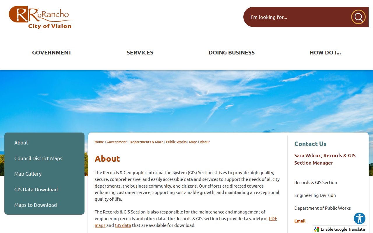
The City contact route is the appropriate local fallback when a mapped parcel ZIP or address component needs clarification.
Rio Rancho ZIP Postal Terms
Rio Rancho postal and property records use different labels for different tasks. Reading the terms correctly helps prevent a ZIP clue from being stretched into a residency or boundary conclusion.
- Base ZIP
- A USPS delivery-routing code. It can cover land inside and outside a municipal boundary.
- ZIP+4
- An added four-digit delivery detail used with a base ZIP. It is a mail-routing refinement, not a property jurisdiction.
- PO Box ZIP
- A ZIP used for postal-box or mailing context. Rio Rancho’s 87174 should not be treated as a street-neighborhood label.
- Carrier route
- A postal delivery grouping beneath the ZIP level. It is not a public map of households or a County records district.
- Situs address
- The location of taxable land or improvement. It differs from an owner’s mailing address and from a legal description.
Verify a Rio Rancho ZIP
Use USPS first when the question is the mail-delivery ZIP for a complete address. Next, compare the address with the City parcel map and municipal-boundary layer. Finally, use the Assessor parcel or legal-description record, then the County Clerk document index if a title or plat question remains. This three-part check is more reliable than selecting a ZIP based on a nearby neighborhood name.
USPS ZIP Lookup is the official postal-address step in that sequence.
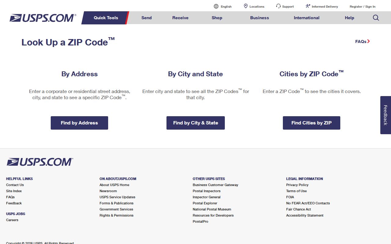
The postal result should be read with, not instead of, the Rio Rancho parcel and boundary information.
Note: A City planning document’s Northern Boulevard reference is useful local orientation, but USPS decides delivery addressing and maintains its own boundaries.
Rio Rancho ZIP Records Desks
When an address falls near an edge or the records conflict, use the office that owns the question. Rio Rancho Records & GIS is at 3200 Civic Center Circle NE, Suite 200, and lists 505-891-5016. Sandoval Planning & Zoning, Addressing, Mapping, and GIS lists 505-867-7628 and sandovalgis@sandovalcountynm.gov. These contacts can clarify map and addressing context; they do not create a new list of people tied to a ZIP.
Sandoval County’s contact directory provides the County addressing and GIS route.
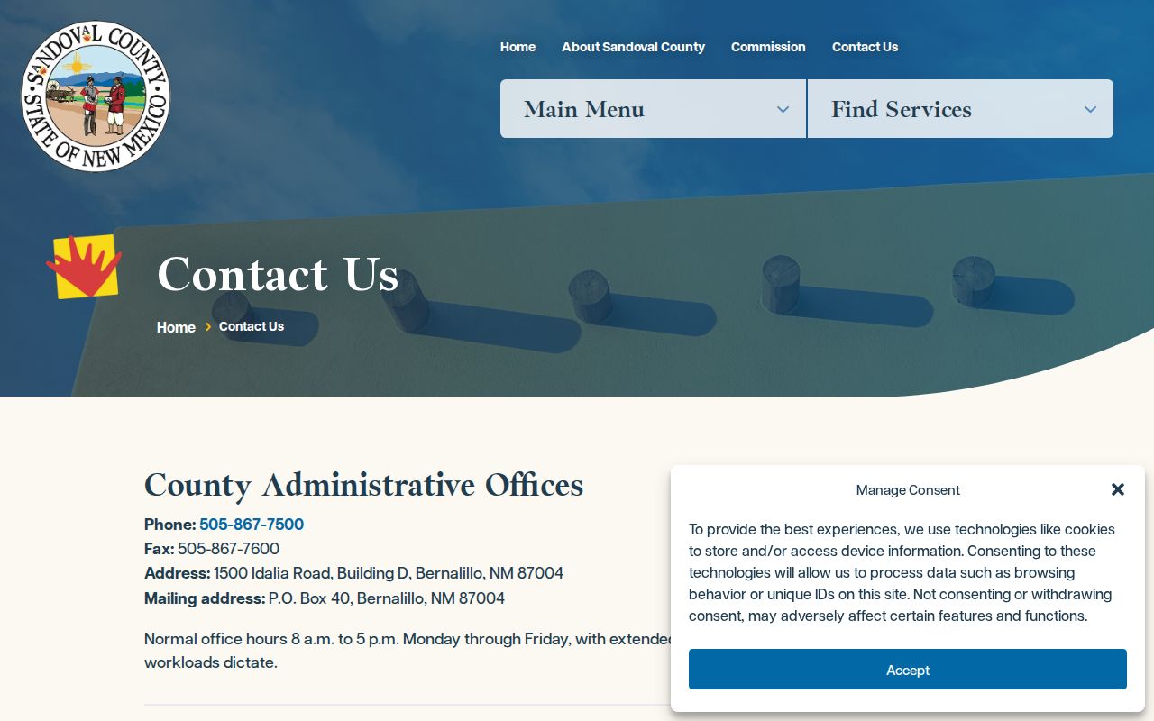
The County contact path is most useful after collecting the street, parcel, legal description, and the conflicting postal or map details.
Rio Rancho ZIP Search Limits
The Clerk document search accepts parties, recording dates, document number, book or page, and legal-description fields, but the inspected form has no ZIP filter. A ZIP-wide deed search therefore starts by identifying particular parcels or units in GIS or EagleWeb, then moves to legal descriptions or parties. City permit material likewise has no verified ZIP filter interface; a request should identify an existing address, permit number, project, or date range.
New Mexico voter services do not supply an open Rio Rancho ZIP or street map for public browsing. The consumer registration tool is for the voter’s own record, and the authorized statewide data route requires the Secretary of State process. Protected voter information remains protected. Postal and property tools must not be recast as a neighborhood roster.
Rio Rancho ZIP Address Trail
A careful directory search preserves the full address, postal result, parcel number, legal description, map layer, and date of each source. Rio Rancho’s rapid planned growth and annexation history make those cross-checks useful, especially where a current City label rests on an older estates unit or County context. The best result is a documented place match, not an overbroad claim about a ZIP or an address.
For a boundary disagreement, retain the evidence and ask the City or County mapping contact for the record it maintains. For a postal mismatch, return to USPS with the complete address. That division of work keeps Rio Rancho address research tied to the office and geography that can actually answer the question.